Overview

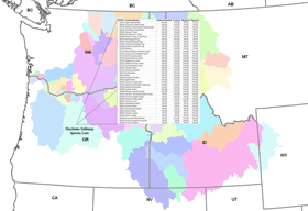
This section of IBIS contains regional Wildlife-Habitat and ancillary GIS data for the Columbia River Basin and the Pacific Northwest. These data have been created by NHI to meet the Northwest Power and Conservation Council's Fish and Wildlife 2000 Program.

NHI and NWPCC request that they be cited as the data source in any metadata or on any maps, reports, or other publications that incorporate these data.

Additional GIS data are available in the Subbasin Planning and EcoProvince Planning sections of IBIS.

All GIS data sets on this site are Arc/Info(c) coverages in
Arc/Info(c) Export Format unless otherwise noted. All files have
been compressed with the WinZip utility and can be extracted with WinZip, or PKZip, or similar extraction programs. Be sure to use the "restore directories" option when extracting the zipped
Arc/Info(c) grids.

The Northwest Habitat Institute is not responsible for the misuse of these data or any inaccuracies in the data. Please see the NHI Copyright/Terms of Use page for further liability limitations and restrictions for using these and other data provided on the NHI web site.

If you have a specific data request please contact our Senior GIS Analyst Cory Langhoff at 541-753-2199 or email at cory@nwhi.org


Columbia River Basin GIS Data

Dataset
(Download)

Size
(zip/unzip)

Source

Image

Documentation

Notes

50m/114m

-Format: ArcInfo GRID
Northwest Habitat Institute and Northwest Power and Conservation Council, 2000.
crb_curr
Metadata

Class Descriptions


Adobe Acrobat required to view!
Get Acrobat Reader
-US Portion of Columbia River Basin
-Projection: Albers
-Scale: 1:100,000.
-Cell size: 25m (82.02ft)
0.2m/0.4m

-Format: ArcInfo GRID
Northwest Habitat Institute and Northwest Power and Conservation Council, 2000.
crb_hist
Metadata

Class Descriptions


Adobe Acrobat required to view!
Get Acrobat Reader
-Projection: Albers
-Scale: 1:1,000,000.
-Cell size: 1000m (3280ft)
0.3m/0.6m

-Format: ArcInfo Coverage
Northwest Habitat Institute and Northwest Power and Conservation Council, 2001.
crbbasn
-Projection: Albers
-Scale: 1:100,000.
0.4m/0.8m

-Format: ArcInfo Coverage
Northwest Habitat Institute,Bonneville Power Administration, & Northwest Power and Conservation Council, 2001.
crb_ecos
-Projection: Albers
-Scale: 1:100,000.
0.6m/1.5m

-Format: ArcInfo Coverage
Northwest Habitat Institute,Bonneville Power Administration, & Northwest Power and Conservation Council, 2001.
crb_ecos
-Projection: Albers
-Scale: 1:100,000.
9.2m/28m

-Format: ArcInfo Coverage
Northwest Habitat Institute and the Northwest Power and Conservation Council, 2001.
crb_6hucs
-Projection: Albers
-Scale: 1:100,000.
13.5m/51m

-Format: ArcInfo Coverage
Northwest Habitat Institute, 2003.
crb_lsstatus
-Projection: Albers
-Scale: 1:100,000.
17.7m/79m

-Format: ArcInfo Coverage
Northwest Habitat Institute, 2003.
crb_lsstatus
-Projection: Albers
-Scale: 1:100,000.
Canadian CRB Current Wildlife-Habitat Types
22m/76m

-Format: ArcInfo GRID
Northwest Habitat Institute and Northwest Power and Conservation Council, 2000.
CA_CRB
Metadata

Class Descriptions


-Canadian Portion of Columbia River Basin
-Projection: Albers
-Scale: 1:100,000.
-Cell size: 25m (82.02ft)

Oregon Specific GIS Data

Dataset
(Download)

Size
(zip/unzip)

Source

Image

Documentation

Notes

Oregon Current Wildlife-Habitat Types
16.9m/34.6m

-Format: ArcInfo GRID
Northwest Habitat Institute, 2000.
orcurhab

Metadata

Class Descriptions


Adobe Acrobat required to view!
Get Acrobat Reader
-Covers entire state of OR and coast.
-Projection: Lambert, NAD83, Meters.
-Scale: 1:100,000.
-Cell size: 25m (82.02ft)
Oregon Historic (c. 1850) Wildlife-Habitat Types
65kb/177kb

-Format: ArcInfo GRID
Northwest Habitat Institute, 2000.
orhisthabs

Metadata

Class Descriptions


Adobe Acrobat required to view!
Get Acrobat Reader

-Projection: Lambert, NAD83, Meters.
-Scale: 1:1,000,000.
-Cell size: 1000m (3280ft)

CLAMS 1996 Vegetation

(Coastal Landscape Analysis and Modeling Study)

14.2m/37.4m

-Format: ArcInfo GRID
US Forest Service's Pacific Northwest Research Station, 1996.
clams


CLAMS Website


CLAMS Metadata


-Projection: UTM Zone 10N, NAD27, Meters.
.
-Cell size: 25m (~82ft)

Eastern Oregon Forest Cover Maps

-Forest Crown Closure (.zip)

-Forest Size (.zip)

-Forest Structure (.zip)

-Forest Species (.zip)

40-50m

-Format: ArcInfo GRID
Oregon Department of Forestry, 1998
clams

clams

clams

clams

ODF Forest Cover Metadata

.zip files contain metadata, class decriptions and ArcMap layer files
-Coverage:
Eastern Oregon


-Projection:
Lambert,
NAD83, Meters.

-Cell size: 25m (~82ft)

Another good source of additional Oregon GIS data can be found at the Oregon Geospatial Data Clearinghouse web site.


Washington Specific GIS Data

Dataset
(Download)

Size
(zip/unzip)

Source

Image

Documentation

Notes

18.4m/39.6m

-Format: ArcInfo GRID
Northwest Habitat Institute and Washington Department of Fish and Wildlife, 1999.
wacurhab

Metadata

Class Descriptions


Adobe Acrobat required to view!
Get Acrobat Reader
-Covers entire state of WA and coast.
-Projection: Washington State Plane.
-Scale: 1:100,000.
-Cell size: 25m (82.02ft)
54kb/138kb

-Format: ArcInfo GRID
Northwest Habitat Institute, 2000.
wahisthabs

Metadata

Class Descriptions


Adobe Acrobat required to view!
Get Acrobat Reader

-Projection: Washington State Plane.
-Scale: 1:1,000,000.
-Cell size: 1000m (3280.833ft)

Please visit the Washington Geographic Information Council and Washington Department of Ecology for additional Washington GIS data.


Willamette Valley Specific GIS Data

Dataset
(Download)

Size
(zip/unzip)

Source

Image

Documentation

Notes

Willamette Valley Land Use/Land Cover
14m/63m

-Format: ArcInfo Coverage
Northwest Habitat Institute and Oregon Department of Fish and Wildlife, 1998.
wvveg24k

Metadata

Project Report


Accuracy Assessment

Adobe Acrobat required to view!
Get Acrobat Reader
-Partial coverage of Willamette Valley.
-Projection: UTM Zone 10, NAD83, GRS1980, meters.
-Scale: 1:24,000.
Willamette Valley Oak Map - LANDSAT Based

2.5m/6.7m

-Format: ESRI Shapefile

Northwest Habitat Institute 2007.
Willamette Landsat Oak and Pine

Metadata

Class Descriptions


Adobe Acrobat required to view!
Get Acrobat Reader
-Partial coverage of Willamette Valley.
-Projection: UTM Zone 10, NAD83, GRS1980, meters.

-Scale: 1:24,000.
UPDATED-Willamette Valley Oak Map - NAIP Based

3.9m/11.5m

-Format: ESRI version 9.2 Geodatabase

Northwest Habitat Institute 2009.
Willamette NAIP Oak and Pine

Metadata

Class Descriptions


Adobe Acrobat required to view!
Get Acrobat Reader
-Partial coverage of Willamette Valley.
-Projection: UTM Zone 10, NAD83, GRS1980, meters.

-Scale: 1:24,000.
Mt. Hood National Forest Oak and Pine Map

457kb/1mb

-Format: ESRI Shapefile

Northwest Habitat Institute 2007.
Mt Hood NF Oak, Pine and Grand Fir

Metadata

Class Descriptions


Adobe Acrobat required to view!
Get Acrobat Reader
-Partial coverage of Mt. Hood National Forest Near Dufur, Oregon.
-Projection: UTM Zone 10, NAD83, GRS1980, meters.

-Scale: 1:24,000.
Willamette National Forest Oak and Pine Map

234kb/450kb

-Format: ESRI Shapefile

Northwest Habitat Institute 2006.
Willamette NF Oak and Pine

Metadata

Class Descriptions


Adobe Acrobat required to view!
Get Acrobat Reader
-Partial coverage of Willamette National Forest near Oakridge Oregon.
-Projection: UTM Zone 10, NAD83, GRS1980, meters.

-Scale: 1:24,000.
Willamette Valley Current and Historic Species
Rangemaps

72m/77m

Format: JPEG
Northwest Habitat Institute 2004.
spp_20200

Metadata
(not yet available)

List of Species
Selected Wildlife Species Rangemaps of the Willamette Valley Oregon


Please visit the the Oregon Geospatial Data Clearinghouse web site for additional Oregon GIS data.


EDT and GIS Stream Reach Data


Select a file to download from the drop-down list below. Once selected, a download dialog will open.


Dataset
(Download)

Size
and Format

Source

Image

Low Resolution .jpg Images

High Resolution .tif Images

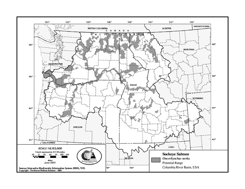
Current Rangemaps

Varies by grouping and resolution
(1-98 Mb)

-Format: .jpg or .tif

Northwest Habitat Institute 2001.
rangemap example

Fish

Amphibians

Reptiles

Birds

Mammals

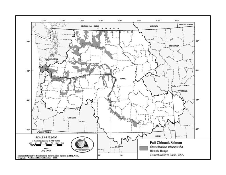
Historic Rangemaps

Varies by grouping and resolution
(1-98 Mb)

-Format: .jpg or .tiff

Northwest Habitat Institute 2001.
historic rangemap example

Fish

Amphibians

Reptiles

Birds

Mammals

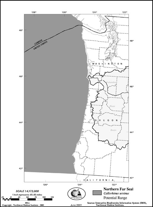
Marine Species

Varies by grouping and resolution
(1-98 Mb)

-Format: .jpg or .tiff

Northwest Habitat Institute 2001.
rangemap example


Marine Species


Marine Species


CRB Focal Wildlife Species Rangemaps

Dataset
(Download)

Size
and Format

Source

Image

Low Resolution .jpg Images

High Resolution .jpg Images

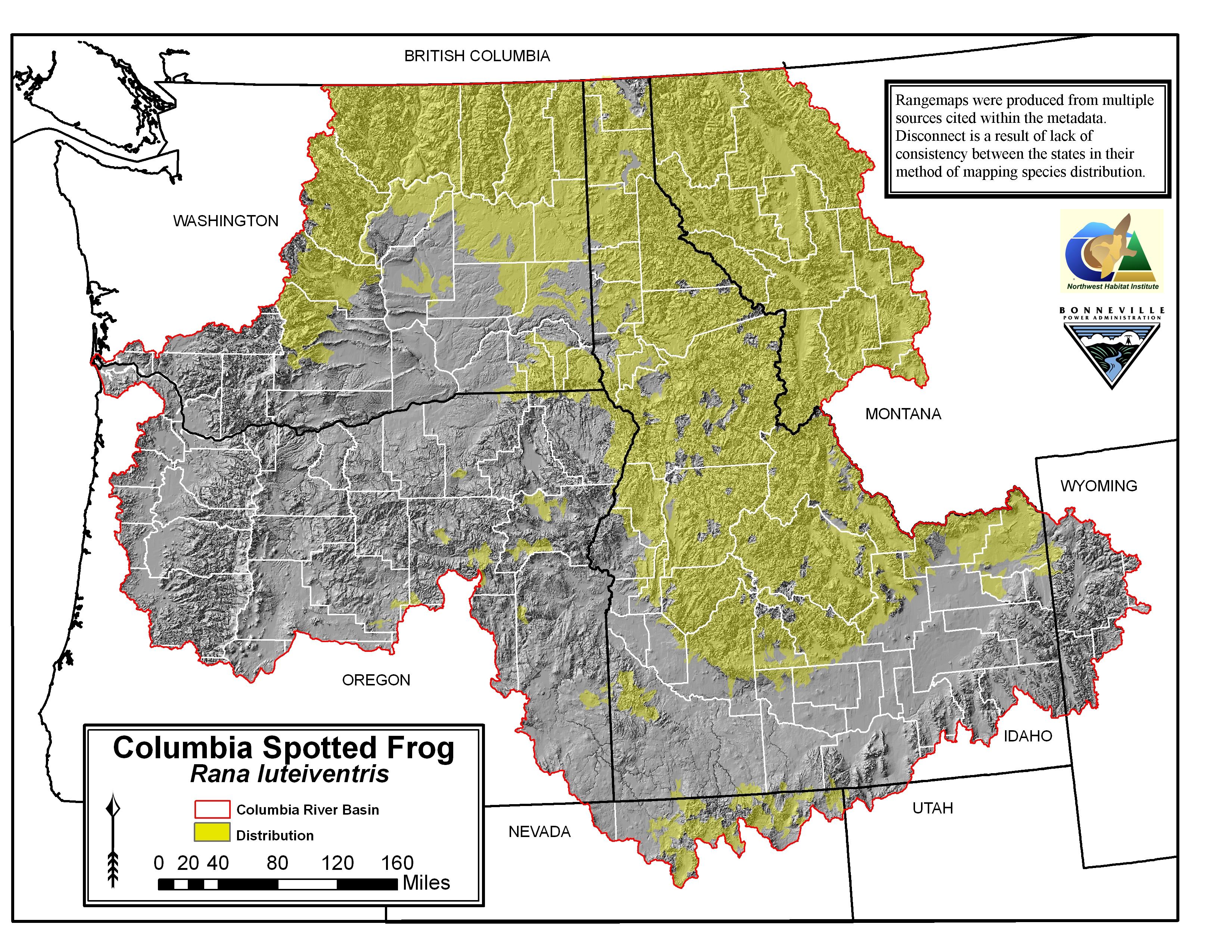
High Resolution Focal Wildlife Species Rangemaps

Varies by grouping and resolution
(1-90 Mb)

-Format: .jpg

Northwest Habitat Institute 2009.
rangemap example

Fish

Amphibians

Reptiles

Birds

Mammals


Focal Species Lists by Subbasin

Spp_List_Image


Select a file to download from the drop-down list below. Once selected, a download dialog will open.


Loading...