Showing posts with label USFWS. Show all posts

Monday, July 18, 2011

Dan Ashe Sworn In as New Director of U.S. Fish and Wildlife Service

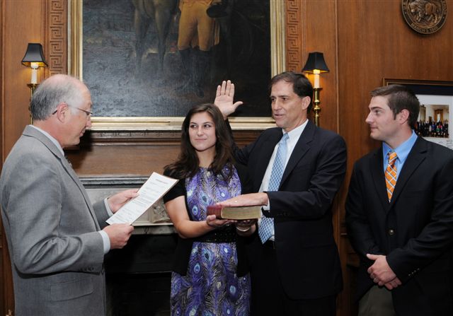
Photo Caption: Dan Ashe
swearing in ceremony.

Credit: Tami Heilemann/USFWS

The USGS Biological Informatics Program (BIP) extends its congratulations and welcome to Daniel M. Ashe, the new  director of the U.S. Fish and Wildlife Service.  Mr. Ashe was formally nominated by President Obama, and was just recently confirmed by the U.S. Senate as the 16th Director of the U.S. Fish and Wildlife Service. Sec. Salazar praised Mr. Ashe on the U.S. Fish and Wildlife Service website, saying:

"Dan has served with distinction and integrity in the Fish and Wildlife Service for more than 15 years. He has worked tirelessly to prepare the Service to meet the resource challenges of the 21st century, and his leadership and vision have never been more necessary," said Salazar. "I’m excited to work with him to foster innovative science-driven conservation programs and policies to benefit our nation’s fish and wildlife and its habitat."

Mr. Ashe's previous experience includes serving as the chief of the National Wildlife Refuge System, where he directed operation and management of the 150 million-acre system, and serving as the Fish and Wildlife Service’s assistant director for external affairs, where he directed the agency’s programs in legislative, public, and Native American affairs, research coordination, and state grants-in-aid.  Prior to joining the Service, Ashe served as a member of the professional staff of the former Committee on Merchant Marine and Fisheries in the U.S. House of Representatives.

The Biological Informatics Program (BIP) has a number of partnerships and collaborative efforts with the Fish and Wildlife Service, including the Invasive Plant Atlas of New England (IPANE), species pages for the USFWS Migratory Bird Programs Focal Birds Species, the Tricolored Blackbird Portal, and regional and national syntheses of Species of Greatest Conservation Need identified in the State Wildlife Action Plans, and many others.  We look forward to continuing these and other collaborations in the future.

Read the U.S. Fish and Wildlife Service Press Release >>
Watch the YouTube video of Dan Ashe being sworn in >>

Tuesday, June 16, 2009

Tricolored Blackbird Portal Provides Data Entry, Access and Sharing Capabilities

The tricolored blackbird (Agelaius tricolor), a bird of conservation concern, is nearly endemic to California. More than 95 percent of the world’s population resides in California with additional small numbers of birds in Oregon, Washington, Nevada, and Baja California. The males of these very social songbirds are mostly glossy black with a bright red shoulder patch and a prominent white wing bar beneath. These features distinguish the male tricolor from its much more widespread and abundant relative, the red-winged blackbird, which is not colonial, lacks the tricolor’s glossy plumage, and has an orangered shoulder patch with a dull yellow wing bar.
Formerly most abundant in coastal marshes, the tricolor’s freshwater marsh breeding habitats have been reduced by conversion to agriculture and urban spaces. Now the tricolor’s largest breeding colonies are located in agricultural areas and the harvest of the grains used by tricolors often conflicts with breeding activities. The production of entire breeding efforts can be lost if the crops are harvested before the young are able to fly. Programs that provide funding to some affected landowners to delay harvest are in place, but longer-term strategies are needed to conserve the species. The tricolored blackbird was selected in 2005 as a focal species under the U.S. Fish and Wildlife Service (USFWS) Focal Species Strategy as a result of severe population declines, habitat loss, and species vulnerability. This species represents one of 139 focal species identified in the strategy for which conservation planning and implementation will be undertaken to bring their populations to healthy or sustainable levels. Under the strategy, the Tricolored Blackbird Working Group was formed as part of a voluntary process to conserve the species, with representatives from state and federal agencies, landowners, nonprofit groups, and academia. The working group produced a conservation plan in 2007 that describes four elements believed essential to conserve the species: conservation and management; research and monitoring; data storage and management; and education and outreach. In partnership with the Tricolored Blackbird Working Group, the USFWS, and the University of California-Davis, the NBII provides support for development of the Tricolored Blackbird Portal. This Portal helps meet the goals set out in the Data Storage and Management section of the conservation plan. The Tricolored Blackbird Portal provides access to current documented information related to the species’ life history and conservation actions, as well as access to reports, images, links to tricolors in the news, and descriptions of research and monitoring efforts. The Portal utilizes open-source applications, Drupal as the content-management system, and MySQL as the database back-end to enable the entry and documentation of existing legacy data related to the locations, sizes, nest substrates, and population size estimates of colonies. The 150 volunteer participants in this year’s State-wide Tricolor Survey in California were able to enter the records of their observations via the Portal — the first time online data entry for a survey have been available. The site also utilizes an Application Programming Interface (API) for Google Maps to enable users to locate colonies. Data entered into the Portal are shared with state (California Department of Fish and Game), national (Avian Knowledge Network), and international (Global Biodiversity Information Facility) data-sharing efforts that are also supported by the NBII. “The Portal is a great asset to tricolored blackbird conservation,” said Mike Green, USFWS. Future enhancements to the site include moving from Google Maps to an open-source mapping tool, providing visualization tools to retrieve data, adding data on colony productivity estimates, and additional enhancements as suggested by site users.

(Photo credit: Tricolored Blackbird - Photo by Robert J. Meese)