Mapping and GIS Data
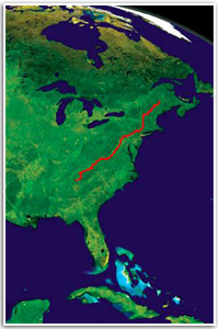 Accurate maps are essential tools for anyone who walks or works on the Appalachian Trail. The Trail is constantly changing: new land is acquired, shelters are added, access points are closed. The Appalachian Trail Conservancy (ATC) uses geographic information system (GIS) and global positioning system (GPS) technologies to:
- Store information for the 250,000 acres of public land associated with the A.T.
- Produce maps for publications and presentations
- Analyze the potential impact of towers, highways, and powerlines
- Identify threatened areas to help focus protection efforts
- Map Trail resources, from shelters to wetlands to endangered species
- Conduct Trail assessments and collect data for environmental assessments
- Design future Trail routes, camping sites, and other features
- Calculate acreage for agricultural fields and other managed areas
Appalachian Trail Mapping Resources
Topographic Map Information
Interactive topographic maps
Interactive topographic maps let you enter a place name or geographic coordinate and see the location on the appropriate topo map.
Geographic Information Systems (GIS)
- GIS.com Links to free software, data, training, news.
- GIS Data Depot Includes USGS digital topographic maps (Digital Raster Graphs—DRG), Digital Elevation Models (DEM), Census TIGER files, Wireless data.
- Center for Advanced Spatial Technologies The University of Arkansas' guide to U.S. geospatial and attribute data.
Global Positioning Systems (GPS)
State GIS Data