North Dakota Water Science Center

What's New
|
||||||||||||||||||||||||
| USGSND - |
| USGSND - |  |
 | Publications |
| USGS News Releases |
| FAQs |
| What is RSS? |
Here you'll find information on North Dakota's rivers, streams, and lakes. You'll also find information about ground water, water quality, and many other topics.
 |
NWIS Mapper Are you looking for a new way to access water data? This interface provides a map view of the locations of sites with USGS water data. Google Maps are used to provide speed and versatility in a format that is familiar to many users. Simply zoom into your area of interest, select your site types using the checkboxes provided, and click on your site. For more information on how to use NWIS Mapper visit http://wdr.water.usgs.gov/nwisgmap/instructions.html. |
Featured VideoPlaylist of all USGS North Dakota YouTube videos. The most recent video plays first, followed by other videos. Hover over top of video to see title. Hover over bottom to preview other videos. Click on another video to skip to it. Click on any playing video to go to YouTube for further description of the video. Current Conditions in North DakotaChoose a site on the map for real-time streamgage information. 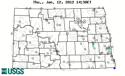
|
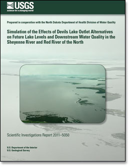
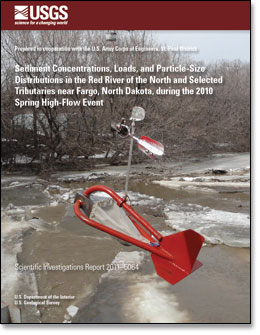
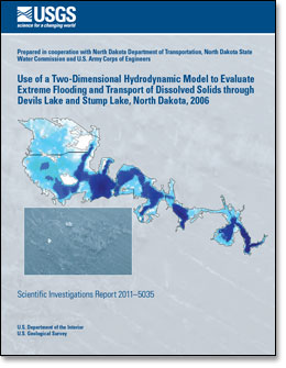
Highlighted Publications
ResourcesU.S. Coast Guard Boating Safety Resource Center North Dakota flood and high flow conditions Soil Moisture/Snow Water Equivalent Information Ice Formations in North Dakota Streamgages in the Souris River Basin in U.S. and Canada Streamgages in the Red River of the North Basin in U.S. and Canada |
News and Video |
USGS National News |
||
Daily Streamflow Conditions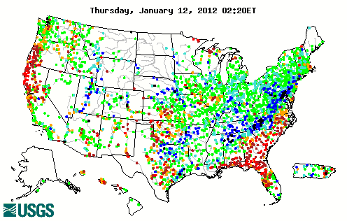  |
|
|

![]() U.S. Department of the Interior |
U.S. Geological Survey
U.S. Department of the Interior |
U.S. Geological Survey
URL: http://nd.water.usgs.gov/index.html
Page Contact Information: Webmaster
Page Last Modified: Monday, 09-Jan-2012 16:33:06 EST
Reston, VA [vaww55]