North Carolina
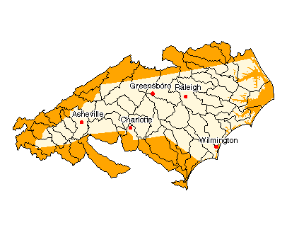
Use the state map or Places Involving this State watershed links below to zoom in to find more information about your watershed.

State Profile
Find general information integrated for this specific state
Assessments of Watershed Health
-
State Biological Indicators of Watershed Health
States Water Quality Assessment TMDL Report (Integrated Report)
Environmental Information
Air Pollution Data (Provided by Office of Air Quality Planning and Standards)
Drinking Water Information (Source: EPA's Office of Ground Water & Drinking Water)
Federal and State Government Regulation and Program References
National Priorities List Sites
Section 319 Success Stories (Source: EPA's 319 Grant Program)
Volunteer Monitoring Efforts for North Carolina
Watershed Groups for this State (Provided by Adopt Your Watershed)
Information provided by United States Geological Survey (USGS) ![]()
Science in Your State
Water Resources
Real-time Streamflow Data
Fact Sheets
Places Involving this State
Watersheds: 58
Counties: 100
American Heritage Rivers: 1
National Estuary Programs: 1
EPA Regional Office
The following sites exit the EPA Website ![]()
Agriculture Statistics Service (USDA)
Natural Resources Conservation Service (USDA)
State and Local Government on the NetUSDA State Fact Sheet (Source USDA Economic Research Service)
![[logo] US EPA](https://cybercemetery.unt.edu/archive/nbii/20120112032136im_/http://www.epa.gov/epafiles/images/logo_epaseal.gif)