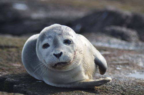
Image description: A Harbor seal lounges at Nantucket National Wildlife Refuge in Massachusetts.
Photo by Amanda Boyd, U.S. Fish and Wildlife Service
Image description: A Harbor seal lounges at Nantucket National Wildlife Refuge in Massachusetts.
Photo by Amanda Boyd, U.S. Fish and Wildlife Service

Image description: A group of puffins at Maine Coastal Islands National Wildlife Refuge.
Photo from the U.S. Fish and Wildlife Service Northeast Region
Visit Recreation.gov to plan your outdoor activities at federal lands across the United States.
You can search for locations that offer the activities you enjoy—including hiking, biking, boating, horseback riding, and climbing—and make reservations for camping, lodging, picnic areas, permits, and tours.
Enjoy America’s great outdoors this summer!

Image description: The Central California coast at sunset.
Photo by Joe MilMoe, U.S. Fish and Wildlife Services
Use this guide from the U.S. Department of Agriculture to find out what plants will grow best where you live.
If you live in zones 1-10, take a look at the U.S. National Arboretum’s examples of plants that should succeed in those zones.
The newly revised map reflects several changes:
Learn more about what’s new in the 2012 edition of the Plant Hardiness Zone Map.
