Editor’s note: After hearing from many of you, we are extending the deadline to submit your apps for the Drought Code Sprint to Wednesday, October 24 at 5 p.m. ET.
Americans across the country are feeling the impact of the most severe and extensive drought in the last 25 years. We’ve heard from people throughout the United States, asking how they can help. That’s why today we’re launching USDA’s first-ever Drought Code Sprint, a call to developers across the country to use publicly available government information to help farmers, ranchers, and others gain quick and reliable “one-click” access to information on drought conditions and Federal drought relief. Developers can submit their apps using this form by Wednesday, October 24 at 5 p.m ET. Some of the most innovative ones will be featured on USDA.gov.
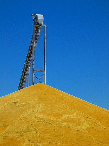
Crops are withering as a result of this historic drought and feed for livestock is growing ever more scarce and expensive. None of us is immune—these conditions are affecting over 50% of the country and almost 80% of our agricultural land. But our rural communities and family farmers and ranchers are on the front lines, and have been the first to feel the drought’s full effects. They are working hard to overcome these hardships, and the Federal Government has stepped up to help.
Of course, apps can’t influence the weather or refill our reservoirs. But they can help farmers and ranchers become more easily aware of the kinds of assistance available to them, and they can simplify the process of taking advantage of these options so relief gets to the people who need it as efficiently as possible.
Some tools we’d love to see include apps that provide “one-click” access to the nearest USDA service centers and available drought programs; county-level drought disaster designations and program eligibility; information on Federal assistance available based on location and sector; types of loans or refinance options available with a handy repayment calculator and eligibility requirements; drought maps; and localized weather outlooks. These are just a few of our ideas but we’re confident that you have even better ones—so get coding!
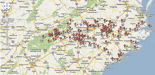
To get started, check out these publicly available data sets in the Natural Hazards Data Community on Safety.Data.gov and on the USDA drought website:
We encourage developers to use other freely available resources on safety.data.gov or the USDA website as well—including Agriculture Weather and Drought Outlook blog posts and Drought Assistance Programs and Information sites—and any other data resources that would be helpful to those affected by the drought.
Here is a great opportunity to apply American ingenuity and technology to the cause of helping America’s farms. We look forward to seeing your ideas.