
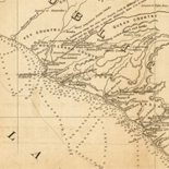
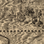
![Plano. I descripcion de la costa, desde el Cavo Cañaveral, hasta cerca de la boca de la Vir[g]inia, contando, costa de Florida, Georgia y Carolinas del S, y N, con todos sus puertos, este[ros ... ]letas, baxos, islas y rios; segun las vlti[mas not]icias, hata [sic] oy Octubre de 1756.](https://cybercemetery.unt.edu/archive/oilspill/20120921145930im_/http://www.loc.gov/collections/static/american-revolutionary-war-maps/images/ct000339.jpg)
![A map of the most inhabited part of New England... Thomas Jefferys, [London] Thos. Jefferys, 1755.](https://cybercemetery.unt.edu/archive/oilspill/20120921145930im_/http://www.loc.gov/collections/static/american-revolutionary-war-maps/images/ar079700.jpg)

Results
-

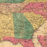
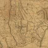
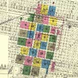
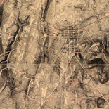
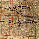
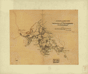
Map of Campbell Co.
LC Land ownership maps, 1229
Site: American Memory-cultural - Main Catalog Original Format: Map View catalog record -

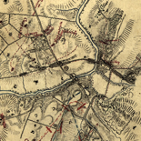
Map of the seat of war showing the battles of July 18th & 21st 1861
[Scale ca. 1:115,000].
Contributor: Corbett, V. P. Site: American Memory-cultural - Main Catalog Original Format: Map Date: 1861 View catalog record -

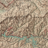
Map of Little North Mountain or Preston & Wilson iron lands /
General map, does not give mining information.
Contributor: Hotchkiss, Jedediah Site: American Memory-cultural - Main Catalog Original Format: Map Date: 1883 View catalog record -

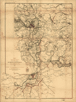
Relative positions of forces at sunset, Aug. 28, 1862. [2nd Manassas Campaign].
Scale ca. 1:550,000.
Contributor: Wells, Jacob Site: American Memory-cultural - Main Catalog Original Format: Map Date: 1886 View catalog record -

Roanoke County, Virginia.
Relief shown by hachures.
Site: American Memory-cultural - Main Catalog Original Format: Map View catalog record -

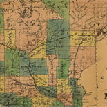
[Map of Nelson and Amherst counties, Va.] /
Relief shown by hachures.
Contributor: Dwight, C. S. Site: American Memory-cultural - Main Catalog Original Format: Map View catalog record -

Map showing the location of battle fields of Virginia
Scale ca. 1:680,000.
Contributor: Chesapeake and Ohio Railway Company Site: American Memory-cultural - Main Catalog Original Format: Map Date: 1892 View catalog record -
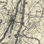
Region embraced in the operations of the armies against Richmond and Petersburg
Scale 1:80,000.
Contributor: United States. Army. Corps of Engineers Site: American Memory-cultural - Main Catalog Original Format: Map Date: 1865 View catalog record -

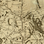
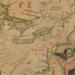
A new map of Virginia, Mary-Land, and the improved parts of Pennsylvania & New Jersey.
Relief shown pictorially.
Contributor: Senex, John Site: American Memory-cultural - Main Catalog Original Format: Map Date: 1719 View catalog record -

The siege of Yorktown, April 1862
Scale not given.
Contributor: Worret, Ch Site: American Memory-cultural - Main Catalog Original Format: Map Date: 1862 View catalog record -

Upper Potomac from McCoy's Ferry to Conrad's Ferry and adjacent portions of Maryland and Virginia
Scale ca. 1:130,000.
Contributor: United States. Army. Corps of Engineers Site: American Memory-cultural - Main Catalog Original Format: Map Date: 1863 View catalog record -

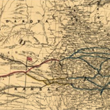
Map showing the line of entrenchments of the Army N. Va. from Totopotomoy to the Chickahominy and the positions of the 2nd Corps, A.N.V. from ...
Shows Confederate troop positions and names of some residents.
Site: American Memory-cultural - Main Catalog Original Format: Map Date: 1864 View catalog record -
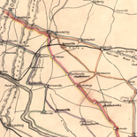
Second Manassas Campaign, August 17 - September 1, 1862 /
Relief shown by hachures.
Contributor: Russell, Robert E. L. Site: American Memory-cultural - Main Catalog Original Format: Map Date: 1862-09-01 View catalog record -
Additions & corrections for the "Map of a part of the Rappahannock above Fredericksburg"
Scale ca. 1:63,360.
Contributor: Paine, William H. Site: American Memory-cultural - Main Catalog Original Format: Map Date: 1863 View catalog record -

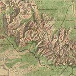
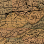
Map of western Virginia /
Relief shown by hachures.
Contributor: Nicholson, W. L. Site: American Memory-cultural - Main Catalog Original Format: Map Date: 1862 View catalog record -
Map of n. eastern Virginia and vicinity of Washington /
Relief shown by hachures. Depths shown by soundings.
Contributor: United States. Corps of Topographical Engineers Site: American Memory-cultural - Main Catalog Original Format: Map Date: 1862 View catalog record -

Manassas National Battlefield Park, Virginia.
Scale ca. 1:48,000.
Contributor: United States. National Park Service Site: American Memory-cultural - Main Catalog Original Format: Map Date: 1971 View catalog record -

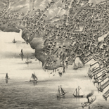
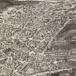
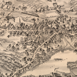
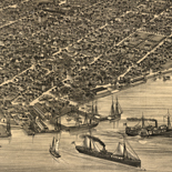
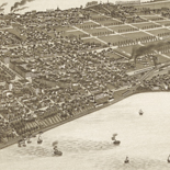
Encampment of U.St. troops at Newport News, Va., 1861 & 1862 /
Bird's eye view.
Contributor: E. Sachse & Co Site: American Memory-cultural - Main Catalog Original Format: Map Date: 1862 View catalog record -

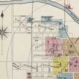
Map of Albemarle County /
Shows villages, houses, names of residents, roads, and railroads.
Contributor: Dwight, C. S. Site: American Memory-cultural - Main Catalog Original Format: Map Date: 1864 View catalog record -

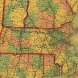
Map of the State of Virginia
Scale ca. 1:887,040.
Contributor: Nicholson, W. L. Site: American Memory-cultural - Main Catalog Original Format: Map Date: 1865 View catalog record
Refine your search
Original Format
- Map