Without 30 years of data, these long-term comparisons aren't possible.
Discover what else is available on the the WaterWatch streamflow map>
The U.S. Geological Survey maintains a nationwide network of streamgages providing current river flows, water levels, and other information. We make all of this data available right here on your screen so you can stay informed, stay safe, and enjoy the benefits of Idaho's water resources. Learn how to use these tools >


Without 30 years of data, these long-term comparisons aren't possible.
Discover what else is available on the the WaterWatch streamflow map>

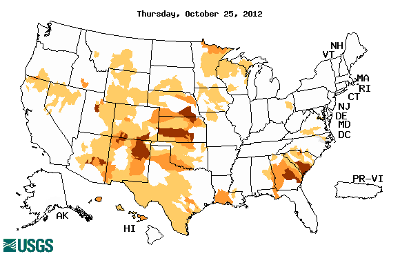
No, but we start tracking dry spells after seven days of regional low streamflow.

...but they rely on our streamgages to make the final call.

< See how streamflow changed during the first 15 days in May.