Written by: Lisa Sikes and Katy Rossiter
When you think of the Census Bureau, you might imagine filling out a census or survey form. Maybe you think of the billions of statistics and counts that are available. What you may not realize is that the Census Bureau is as much a geographic and cartographic agency as it is a statistical agency. We produce millions of maps to support our many censuses and surveys. Here are three ways these maps are vital to collecting the information we use to measure our people, places and economy and understanding the statistics we produce.
1. Maps assist census workers in the field gathering data.
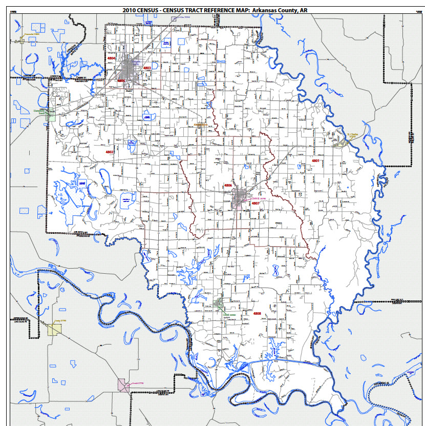
These maps contain all of the information a field worker needs to get to each house in their survey or census operation. They usually contain streets, rivers, a spot on the map representing each address, and census boundaries, such as census blocks.
As the country’s population has grown and technology has advanced, so has the need for maps for our field workers. Here is a look at how maps were created for each nationwide census and the amount made:
- 1970 – Cartographers painstakingly produced 25,800 maps using pen and ink and a wax backed lettering method
- 1980 – Technology of scribing and overlay allowed 33,000 maps to be created
- 1990 – Quantum shift in technology to electrostatic printers and the development of TIGER, our geographic database, had taken place. We produced over 1.3 million maps
- 2010 – Over 17 million maps were produced in PDF for use in field operations (at the peak of production we created a map every 1.2 seconds!). Maps were plotted in over 470 different locations on printers running around the clock for use by field workers.
2. Refe rence maps display our geographic boundaries.
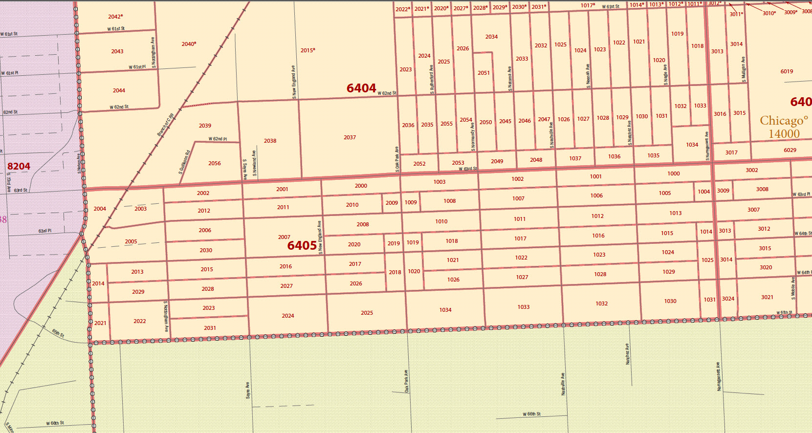
We create these maps so you can see what our geographic boundaries look like or see the census geography where you are located. Real estate agents use these types of maps to see what census tract contains a particular house or business. Economic developers use these types of maps to see if their property is in an urban area. Your congressional representative uses these types of maps to see the area they represent.
3. Thematic and special purpose maps present census statistics in eye-catching and meaningful ways.
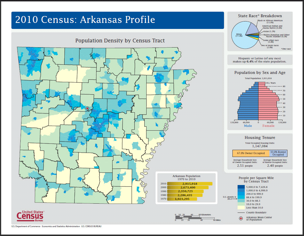
Maps are a great way to present information visually because they can easily show information about our population. A table sh ows a list of numbers, such as the population density, but a thematic map visualizes the data, revealing spatial patterns, such as a concentration of people.
The Census Bureau produces maps to illustrate information following the release of decennial census counts and census survey statistics. We have also produced maps for major events, such as the Mississippi River flood in May 2011.
To view some of our maps, visit http://www.census.gov/geo/www/maps/CP_MapProducts.htm.


How many maps did you make for the 2000 Census? Was it closer to the 1990 or 2010 Census?
We estimate that more than 10 million maps were created. However, in Census 2000 an automated system was used to start the mapping process, but the final creation and printing of the maps was left up to individual regions.