National Atlas Data Download Help
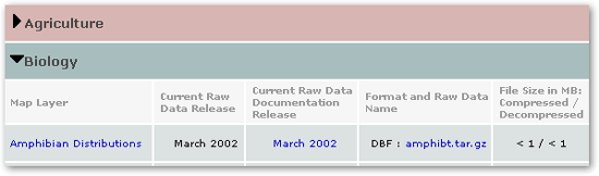
| You can use the National Atlas Data Download table to quickly determine all the maps offered in the Map Maker and to learn more about them. This index is arranged in a table with five columns. If you're like most National Atlas users, you'll
only be interested in the first two columns. These include the
map layer names and release dates. To see these, click on any
You can click on any name in the first column to learn more about the map layer. All National Atlas Data are provided at no cost and may be available in more than one format. If so, each format is listed in the fourth column and each file's size is shown in the fifth. Please note we compress National Atlas Data to speed delivery over the World Wide Web. Simply click on a file name to begin downloading. We offer far more detailed help for those who wish to download our data. |
||
| Help |
| Help PDF |
| Detailed Download Help |
| FAQ |
| Map Maker Help |
| Displaying Topo Maps and Aerial Photos Help |
