| |
| Federal Expenditures and Department of Defense (DOD) Expenditures by State |
What this map layer shows:
Federal spending by U.S. State for the years 2000, 2005, and 2009. Amounts listed are total dollars, expressed in millions of dollars for DOD expenditures, other Federal spending, and total Federal expenditures. Per capita spending is expressed in dollars and categories for DOD spending, other federal spending, and all federal spending. |
 |
| Background Information |
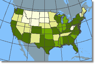 Sample Map
- Retirement and disability ($915 billion)
- Other direct payments ($819 billion)
- Grants ($683 billion)
- Procurement contracts ($517 billion)
- Salaries and wages ($343 billion)
- Direct loans ($88 billion)
- Guarantees or insured loans ($427 billion)
- Insurance ($1.3 trillion)

Also available from the National Atlas is a map layer showing Federal Expenditures by County.
Related Links:
If you download the data for Federal Expenditures by County, you may also want to download the 2001 County Boundaries data. These two map layers can be used together to create national maps
Download 2001 County Boundaries.
|
|
 |
|
|
|
|
|
