Searching Tips
Home
Subject Map
Select a subject
---------------
Arts & Music
Health & Phys Ed
History & Soc Studies
- U.S. History Topics
- U.S. Time Periods
- World Studies
Language Arts
Math
Science
---------------
Subject map
Arts & Music
Health & Phys Ed
History & Soc Studies
U.S. History Topics
U.S. Time Periods
World Studies
Language Arts
Math
Science
What's New
Calendar
Water
44 Resources
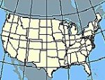
Nationalatlas.gov
is a primary source of U.S. maps and geographic information. Zoom in on your state and...
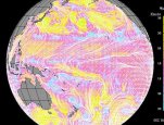
Exploring Earth: Visualizations
features over 100 animations and images that illuminate key concepts in earth science...
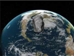
NASA Oceanography
provides online field trips, information about ocean phenomena (such as phytoplankton...
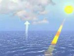
Water Cycle, Weather, and Climate
provides video clips and interactive resources for learning about air-ocean interactions...
Interior Dept
National Science Foundation
NASA
Multiple Agencies
See All 44 water Resources
About FREE
Privacy
Security
Disclaimer
WhiteHouse.gov
USA.gov