to the National Atlas Home page
About | Fact Sheets | Contact Us | Partners | Products | Site Map | FAQ | Help | Follow us on Twitter 
AgricultureBiologyBoundariesClimateEnvironmentGeologyGovernmentHistoryMappingPeopleTransportationWater
to the Interactive Map MakerMap LayersPrintable MapsWall MapsDynamic MapsArticlesMapping Professionals


Map Layer Info


Index to Topographic Maps - 1:250,000 Scale

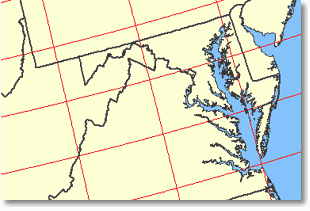
What this map layer shows:

The positions of the intermediate-scale topographic maps that cover the 50 United States.
opens the U.S. Geological Survey home page
Background Information
Sample map Sample Map
The U.S. Geological Survey (USGS) produced topographic maps of the United States at a variety of scales. The USGS no longer updates this national series of 1:250,000-scale topographic maps. Intermediate-scale USGS topographic maps at 1:250,000 scale were used for land management and planning. These maps included natural features, such as mountains, valleys, plains, lakes, rivers, and vegetation. Contours were used to show elevation. Also included were constructed features: roads, airports, boundaries, and built-up areas. The standard map size is 1 degree of latitude by 2 degrees of longitude.

The Index to Topographic Maps - 1:250,000 Scale map layer shows the positions of the intermediate-scale topographic maps that cover the 50 United States. All USGS historical topographic maps have been scanned and are available online at no cost.