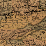
![A correct map of a section of the United States showing the allignment [sic] of the Pittsburgh, Marion, and Chicago Railway between Chewton, Penna. and Marion, Ohio and connections.](https://cybercemetery.unt.edu/archive/oilspill/20121101221441im_/http://www.loc.gov/collections/static/railroad-maps-1828-to-1900/images/rr005350.jpg)


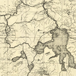
![[December 18, 1944], HQ Twelfth Army Group situation map.](https://cybercemetery.unt.edu/archive/oilspill/20121101221441im_/http://www.loc.gov/collections/static/world-war-II-maps-military-situation-maps-from-1944-to-1945/images/ict21197.jpg)


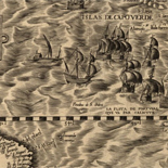
![Carte particulière d'une partie de la Louisianne ou les fleuve et rivierres [i.e. rivières] onts etés relevé a l'estime & les routtes [i.e. routes] par terre relevé & mesurées aux pas, par les Srs. Broutin, de Vergés, ingénieurs & Saucier dessinateur](https://cybercemetery.unt.edu/archive/oilspill/20121101221441im_/http://www.loc.gov/collections/static/louisiana-european-explorations-and-the-louisiana-purchase/images/ct000681.jpg)
Results
-

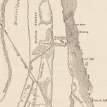
Galveston, Texas, showing the fortifications &c. /
Covers Galveston area, west to southeast, from Swan Lake to Gulf of Mexico, and north to Bolivar Point.
Contributor: Abbot, Henry L. Site: American Memory-cultural - Main Catalog Original Format: Map Date: 1862 View catalog record -

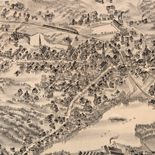
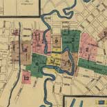
The villa and presidio of San Antonio de Bexar : together with the Franciscan Missions, including that one of San Antonio de Valero, the Alamo, ...
Includes portraits and views of historic events.
Contributor: Lanier, Fanita Site: American Memory-cultural - Main Catalog Original Format: Map Date: 1935 View catalog record -

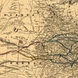
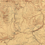
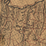
[Map of the Red River campaign, March 10-May 22. 1864].
Shows the Red River valley in Arkansas and Louisiana, indicates the location of Camp Worth near Logansport, Louisiana, and the battle sites of April 8 and 9, 1864, between Mansfield and Pleasant ...
Contributor: Venable, Richard M. Site: American Memory-cultural - Main Catalog Original Format: Map Date: 1864 View catalog record -

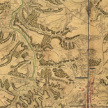
Texas Coast showing points of occupation of expedition under Maj. Gen. N.P. Banks : Nov'r 1863.
Shows towns, rivers, roads, selected shipwrecks, and Civil War "Points of occupation" marked by U.S. flags.
Site: American Memory-cultural - Main Catalog Original Format: Map Date: 1863 View catalog record -

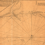
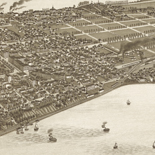
Panorama of the seat of war : bird's eye view of Texas and part of Mexico /
Shows the coastline of the Gulf of Mexico from "Littel [i.e., Little] Constance Bay," Louisiana to the Rio Grande.
Contributor: Bachmann, John Site: American Memory-cultural - Main Catalog Original Format: Map Date: 1861 View catalog record -

Attack on Federal fleet at Galveston, January 1, 1863.
From Report of the Secretary of the Navy, with an appendix, containing reports from officers. December, 1863 (Washington, Government Printing Office, 1863). opp. p. 314.
Contributor: United States. Navy Site: American Memory-cultural - Main Catalog Original Format: Map Date: 1863 View catalog record
Refine your search
Original Format
- Map
Online Format
- Image
Site
- American Memory-cultural
- Main Catalog
Contributor
Subject
Location
Language
- English