
![[January 15, 1945], HQ Twelfth Army Group situation map.](https://cybercemetery.unt.edu/archive/oilspill/20130120133255im_/http://www.loc.gov/collections/static/world-war-ii-maps-military-situation-maps-from-1944-to-1945/images/ict21225.jpg)
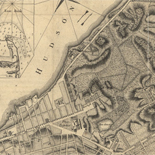
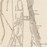
![Map of the Rappahannock River from [sic] Port Royal to Richards Ferry](https://cybercemetery.unt.edu/archive/oilspill/20130120133255im_/http://www.loc.gov/collections/static/civil-war-maps/images/cw0619600.jpg)


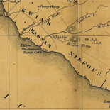
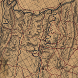
![[Sketches of portions of Madison County, Va.].](https://cybercemetery.unt.edu/archive/oilspill/20130120133255im_/http://www.loc.gov/collections/static/hotchkiss-maps/images/cwh00106.jpg)
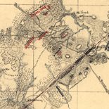
![[December 16, 1944], HQ Twelfth Army Group situation map.](https://cybercemetery.unt.edu/archive/oilspill/20130120133255im_/http://www.loc.gov/collections/static/world-war-ii-maps-military-situation-maps-from-1944-to-1945/images/ict21195.jpg)
![A correct map of a section of the United States showing the allignment [sic] of the Pittsburgh, Marion, and Chicago Railway between Chewton, Penna. and Marion, Ohio and connections.](https://cybercemetery.unt.edu/archive/oilspill/20130120133255im_/http://www.loc.gov/collections/static/railroad-maps-1828-to-1900/images/rr005350.jpg)


Results
-

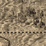
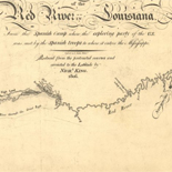
Carte de la decouverte faite l'an 1673 dans l'Amerique Septentrionale /
Oriented with north to the right.
Contributor: Marquette, Jacques Site: American Memory-cultural - Main Catalog Original Format: Map Date: 1681 View catalog record -

The Cartographic Setting - Louisiana European Explorations And The Louisiana Purchase
Evolving European and American Conceptions of Louisiana to 1803 Until 1803 the exploration and mapping of the territory acquired by the United States in the Louisiana Purchase was undertaken by the major ...
Site: LOC.gov web pages Original Format: Map - Web Page Date: 2007-08-13 -

Maps Of Arcadia National Park - National Parks Maps
Early European Maps | British Maps | Nineteenth Century Nautical Charts | Mount Desert Island | USGS Maps | National Park Service Maps of Acadia Map of the Discovery of the East ...
Site: LOC.gov web pages Original Format: Map - Web Page Date: 1999-06-02 -

Carte de la découverte faite l'an 1673 dans l'Amérique septentrionale.
Oriented with north to the right.
Contributor: Marquette, Jacques Site: American Memory-cultural - Main Catalog Original Format: Map Date: 1681 View catalog record -
Maps Of Great Smoky Mountains National Park - National Parks Maps
Early European Maps | American Maps and Map Makers | Exploration and Geological Mapping | Environmental Maps | Early USGS Maps | USGS and the TVA -- Topographic Quadrangle Maps | National ...
Site: LOC.gov web pages Original Format: Web Page - Map Date: 1999-06-02
Refine your search
Original Format
- Map
- Web Page [3]
Online Format
- Image
- Web Page [3]
Date
-
1681

- 1681