to the National Atlas Home page
About | Fact Sheets | Contact Us | Partners | Products | Site Map | FAQ | Help | Follow us on Twitter 
AgricultureBiologyBoundariesClimateEnvironmentGeologyGovernmentHistoryMappingPeopleTransportationWater
to the Interactive Map MakerMap LayersPrintable MapsWall MapsDynamic MapsArticlesMapping Professionals


Map Layer Info


Congressional Districts of the United States

What this map layer shows:

The congressional district boundaries for the 109th Congress (2005-2006).
opens the U.S. Geological Survey home page
Background Information
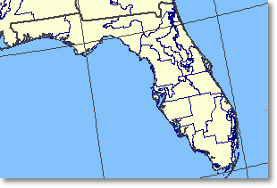
Sample map Sample Map
The U.S. Census Bureau is required to take a census of population every ten years, during the year ending with zero. According to the Constitution of the United States, this decennial census has one fundamental purpose: to ensure that number of seats each State has in the U.S. House of Representatives reflects the relative size of the State's population as compared with other States. Currently there are 435 representatives divided among the 50 States. Each of these representatives is elected by the voters of a congressional district, defined as an area established by law for the election of representatives to the U.S. Congress. Each congressional district is to be as equal in population to all other congressional districts in the State as practicable, based on the decennial census counts. The number of congressional districts in each State may change after a decennial census. After the number of seats assigned to the individual States is determined (apportionment), the task of drawing the new congressional districts (redistricting) is generally given to each State legislature. Congressional district boundaries may be changed more than once during a decade.

The Congressional Districts of the United States - 109th Congress map layer portrays the congressional district boundaries for the 109th Congress (2005-2006). Descriptive information includes the full name and party affiliation of the congressional representative elected from each district and the congressional district number. This map layer is the only congressional district information that can be viewed online with the National Atlas Map Maker, however, historical congressional district map layers for the 106th (1999-2000), 107th (2001-2002), and 108th (2003-2004) Congresses are available for download from the National Atlas. Further information on the 109th Congress is available from the Office of the Clerk of the U.S. House of Representatives. These map layers were compiled by the National Atlas of the United States®.