Featured Items
-
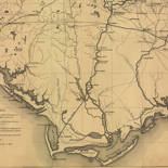
A Plan of the coast of part of west Florida & Louisiana : ...
-

The city of New York.
-

A correct map of the United States showing the Union Pacific, ...
-
![Sketch-book of positions of forces of 2nd Corps A.N.Va., campaigns of 1864 : [Virginia]](https://cybercemetery.unt.edu/archive/oilspill/20121227223913im_/http://www.loc.gov/collections/static/hotchkiss-maps/images/cwh00003.jpg)
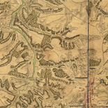
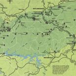
Sketch-book of positions of forces of 2nd Corps A.N.Va., ...
-

Amarillo, Potter County, Texas.
-
Plan de New-York et des environs, levé par Montrésor, ingénieur ...
-
Great Smoky Mountains National Park and vicinity.
-
Rebel defences, Mobile, Alabama occupied by Union forces under ...
-

Fort Worth, Tex.,
-
Map showing the distribution of slaves in the Southern States
-

The panorama of St. Louis.
-
Armée de Rochambeau, 1782. Carte des environs de Williamsburg en...
-
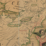
Carte de l'Amerique Septentrionnale : depuis le 25, jusqu'au ...
-
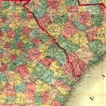
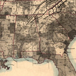
Colton's map of the southern states. Including Maryland, ...
-

Map showing the line of the New Haven, Middletown, and Boston ...
-
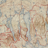
Great Smoky Mountains National Park
-
Extract From A Map Entitled Portions Of The Military Departments...
-
![[Map of cavalry engagement near Bridgewater, Va. Oct. 4th and 5th, 1864]](https://cybercemetery.unt.edu/archive/oilspill/20121227223913im_/http://www.loc.gov/collections/static/hotchkiss-maps/images/cwh00193.jpg)
[Map of cavalry engagement near Bridgewater, Va. Oct. 4th and ...
-
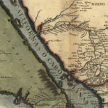
La Californie ou Nouvelle Caroline : teatro de los trabajos, ...
-

Bird's eye view of the city of Peru, Miami Co., Indiana 1868.
-
Topographic Map, Acadia National Park and vicinity, Hancock ...
-
Vicksburg and vicinity.
-
This map of the peninsula between Delaware & Chesopeak Bays,...
-
Telegraph and Rail Road map of the New England States.
-
![[December 25, 1944], HQ Twelfth Army Group situation map.](https://cybercemetery.unt.edu/archive/oilspill/20121227223913im_/http://www.loc.gov/collections/static/world-war-ii-maps-military-situation-maps-from-1944-to-1945/images/ict21204.jpg)
[December 25, 1944], HQ Twelfth Army Group situation map.
-
![[Map of parts of Caroline, Hanover, and Henrico counties, Va. west of the Mattaponi River and the Richmond, Fredericksburg, and Potomac Railroad].](https://cybercemetery.unt.edu/archive/oilspill/20121227223913im_/http://www.loc.gov/collections/static/hotchkiss-maps/images/cwh00025.jpg)
[Map of parts of Caroline, Hanover, and Henrico counties, Va. ...
-
![[Detailed map of part of Virginia from Alexandria to the Potomac River above Washington, D.C. 1886].](https://cybercemetery.unt.edu/archive/oilspill/20121227223913im_/http://www.loc.gov/collections/static/civil-war-maps/images/cw0523000.jpg)
[Detailed map of part of Virginia from Alexandria to the Potomac...
-
![Map of the Rappahannock River from [sic] Port Royal to Richards Ferry](https://cybercemetery.unt.edu/archive/oilspill/20121227223913im_/http://www.loc.gov/collections/static/civil-war-maps/images/cw0619600.jpg)
Map of the Rappahannock River from [sic] Port Royal to Richards ...
-
![[Plan of Fort Henry and its outworks.]](https://cybercemetery.unt.edu/archive/oilspill/20121227223913im_/http://www.loc.gov/collections/static/civil-war-maps/images/cw0414000.jpg)
[Plan of Fort Henry and its outworks.]
-
Reconnoissance, juillet 1781.
↓ Refine your search
Results
-
Early European Maps | British Maps | Nineteenth Century Nautical Charts | Mount Desert Island | USGS Maps | National Park Service Maps of Acadia Map of the Discovery of the East ...
| Site: |
LOC.gov web pages |
| Original Format: |
Map - Web Page |
| Date: |
1999-06-02 |
-
Early European Maps | American Maps and Map Makers | Exploration and Geological Mapping | Environmental Maps | Early USGS Maps | USGS and the TVA -- Topographic Quadrangle Maps | National ...
| Site: |
LOC.gov web pages |
| Original Format: |
Web Page - Map |
| Date: |
1999-06-02 |
-
Evolving European and American Conceptions of Louisiana to 1803 Until 1803 the exploration and mapping of the territory acquired by the United States in the Louisiana Purchase was undertaken by the major ...
| Site: |
LOC.gov web pages |
| Original Format: |
Map - Web Page |
| Date: |
2007-08-13 |

