![]()
HURRICANE FRANCES
(Please
note: This only is a demonstration. The links go to Hurricane Frances
2004 archived advisories and tracking maps. However, the NOAA satellite
and radar links are current.)
Latest
NOAA Public Advisory
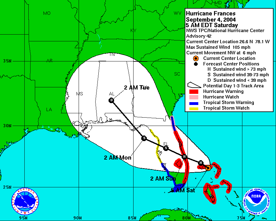
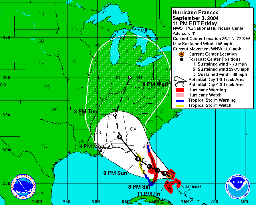
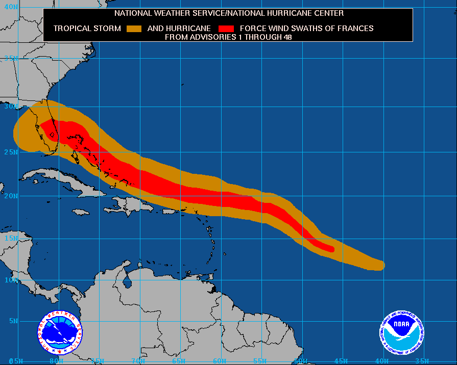
| NOAA three-day tracking map of Hurricane Frances | NOAA five-day tracking map of Hurricane Frances | Wind speed forecast and probability chart |
 |
 |
 |
| Latest NOAA Satellite Image of Frances (Visible) | Latest NOAA Infrared Satellite Image of Frances | Latest NOAA RGB "False Color Satellite Image of Frances |
 |
| Tampa Bay Area, Fla., Doppler Radar (short range) | Tampa
Bay Area, Fla., Doppler Radar (long range) |
 |
 |
| High Resolution Satellite Images | Enhanced Satellite Images | Latest NOAA Satellite Loop |
Publication of the National Oceanic & Atmospheric Administration (NOAA), U.S. Department of Commerce.
Last Updated: June 1, 2007 4:13 PM
http://www.noaa.gov