NOAA's Digital Coast Supports Decision-Making
As the Geospatial Platform matures, it will build upon existing Federal partnerships. The Digital Coast, a collaboration spearheaded by the National Oceanic and Atmospheric Administration (NOAA), is one of the most successful interagency partnerships to date.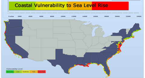
Launched in 2008, the Digital Coast is used to address timely coastal issues, including land use, coastal conservation, hazards, marine spatial planning, and climate change. One of the goals behind the creation of the Digital Coast was to unify groups that might not otherwise work together. This partnership network is building a strong collaboration of coastal professionals intent on addressing coastal resource management needs.
The tools offered by the Digital Coast support coastal decision-making by transforming Digital Coast data into information tailored for specific issues. Some tools are Web-based, providing direct online analysis and viewing, while others are downloadable extensions that provide new functionality for desktop geographic information systems.
The Digital Coast effort is led by the NOAA Coastal Services Center. Partners include the American Planning Association, Association of State Floodplain Managers, Coastal States Organization, National Association of Counties, National States Geographic Information Council, and The Nature Conservancy. The Digital Coast Partnership is supported by the Mississippi Coordinating Council for Remote Sensing and Geographic Information Systems.
Learn more about NOAA's Digital Coast.