

Maps and Who's Mapping
The work of this Department impacts Americans all over the country. Displaying information on maps can demonstrate relationship between sources of information, show off the great work your office is doing, and allow for people to quickly find information relevant to a particular locality. You can create basic maps that plot simple location points, or you can implement with more advanced features including regions with layered display options.
Get started with mapping
 | Mapping involves first and foremost having the geo-located data appropriately organized and exported in the right file type: Usually an XML or KML. Without getting into the technical weeds here, just know that a map can only be as good as the data behind it! There are many 3rd-party technologies available that for mapping. HHS has signed TOS-amendments with, and thus clearing some legals barriers to using, Socrata and ZeeMaps. A TOS-amendment with MapBox is also in the works. |
In addition to these tools, HHS has acquired an Enterprise License for the Google Maps API Premier that is available to all HHS offices and programs. If you have information that can be plotted on a map, and doing so can bring value to your site visitors, you should explore how you can display your information using the Google Maps.
Our Google Maps AP Premier page has more information to help you get started with Google Maps.
Who in HHS is using location?
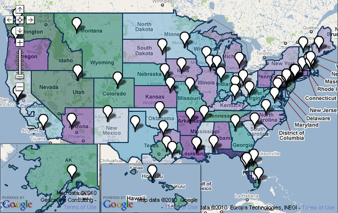
The Office of the National Coordinator for Health Information Technology (ONC) has used location-based data to display information from programs that are part of The Health Information Technology for Economic and Clinical Health (HITECH) Act. For each of the below links, the map referenced is found at the bottom of that page.
- The Community College Consortia comprises five regional groups of more than 70 member community colleges in all 50 states.
- The Beacon Community Cooperative Agreement Program provides funding to selected communities to build and strengthen their health IT infrastructure and exchange capabilities.
- The Health Information Technology Extension Program consists of Health Information Technology Regional Extension Centers (RECs).
AIDS.gov has created a HIV/AIDS prevention & service provider locator widget using data from multiple federal agencies. Check it out:
ATSDR is using location to organize the Public Health Assessments & Health Consultations according to the state or U.S. territory and also by the ATSDR regions where they originated.
These are only a few examples of mapping being used in this Department. Are there other mapping examples in HHS? What do you think are the biggest barriers to implementation?.
Add a Comment | Privacy Policy | Permalink | Blog Home |