

1998 - E_Pacific
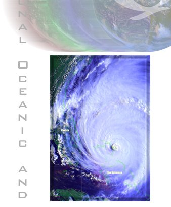

OSEI tropical cyclone products (TRC) include multichannel color composite imagery and animations of
tropical cyclones at different stages of development from polar (N4, N5, N6) and geostationary
(G8, G10, G12) satellites.
|
File Types |
|
|---|---|
|
Type
|
Description
|
|
S
|
An OSEI "Standard"-format image saved at full resolution and at high image quality. Resultant
file sizes are generally at or above 500K and sometimes exceed 1M. Dimensions vary by image
but are generally at least 1024X1024.
|
|
P
|
An OSEI "Preview"-format image is reduced dimensionally before saving. These files function as
thumbnails that allow the user to determine their interest in an event before downloading the
standard version of the product. File sizes are generally around 60K.
|
|
M
|
OSEI AVI-format or MPG-format animations whose file sizes depend on the length and dimensions of the
loop. File sizes exceeding 1M are common.
|
|
|


