Special Event Imagery Special Event Imagery
2010 - index
Special Event Imagery Special Event Imagery
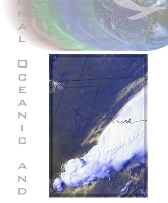
OSEI severe weather products (SVR) include multichannel color composite imagery and animations of severe thunderstorms or thunderstorm complexes as seen from both polar (N4, N5) and geostationary (G8, G10, G12) satellites
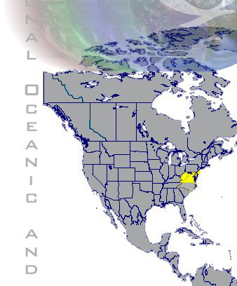
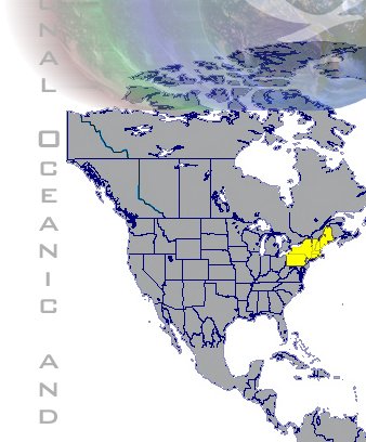
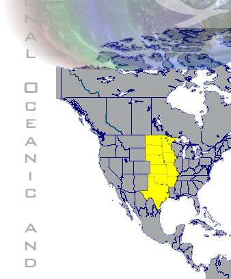
The following image files have recently been added to the Severe archive...

National Oceanic and Atmospheric Administration
Location
Directory
Map Link
AustraliaAustralia
CaribbeanCaribbean
MAP
IndiaIndia
MAP
United States (Mid Atlantic)US_MidAtl
United States (Midwest)US_Midwest
MAP
United States (Northeast)US_Northeast
United States (Plains)US_Plains
United States (Southeast)US_Southeast
United States (West)US_West
  description  
Links

»OSEI Home

»OSEI Image of the Day

»OSEI Media Resource

»Special Coverage

»Educational Resources

»Significant Event Imagery
»Privacy Policy

»About US

»FAQ

»Disclaimer

»Related Links

»OSEI Map Viewer


description description description
NOAA, OSEI, Department of Commerce Logos