


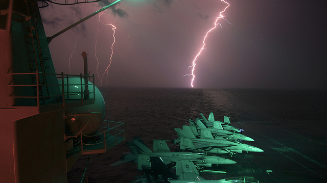
Image description: Flashes of lightning are seen over the horizon as the aircraft carrier USS Dwight D. Eisenhower operates in the Persian Gulf area.
Photo by Lt. Greg Linderman, U.S. Navy.


Image description: Flashes of lightning are seen over the horizon as the aircraft carrier USS Dwight D. Eisenhower operates in the Persian Gulf area.
Photo by Lt. Greg Linderman, U.S. Navy.
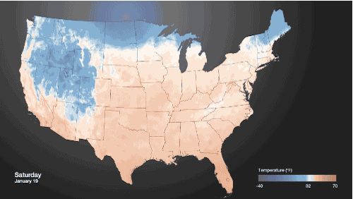
Image description:
From NOAA Visualizations:
A drop in the jet stream sent temperatures across the United States plummeting over the Martin Luther King Jr. Holiday weekend. The pronounced change in temperatures can be seen in this weather data from NOAA/NCEP’s Real-Time Mesoscale Analysis. Areas colored blue are below freezing. The diurnal cycle of heating and cooling can be seen over time, but the pattern is clear: much of the U.S. is pretty cold.
2012 is now the warmest year on record for the contiguous United States, according to the data gathered by the National Oceanic and Atmospheric Administration’s National Climatic Data Center. 2012 had a record warm spring, second warmest summer, fourth warmest winter and a warmer-than-average autumn. The average temperature in 2012 was 55.3 °F, 1°F warmer than the previous warmest year, 1998.
2012 was also filled with extreme weather, making it the second most extreme year on record for the contiguous United States. Precipitation was almost 3 inches below average, making it the 15th driest year on record. 2012 had 11 disasters that reached beyond $1 billion in losses, including Hurricanes Sandy and Isaac, and the tornado outbreaks in the mid-west.
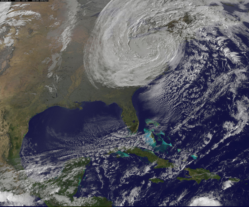
Image description: A satellite captured this image of Post-Tropical Sandy rolling inland on Tuesday, October 30 at 6:02 a.m. EDT. It lost its hurricane status on Monday and is now considered an extratropical cyclone.
Photo by NASA.
If you lost power, find out how to tell if your food is safe once power is restored.
