
![[January 1, 1945], HQ Twelfth Army Group situation map.](https://cybercemetery.unt.edu/archive/oilspill/20130108003515im_/http://www.loc.gov/collections/static/world-war-ii-maps-military-situation-maps-from-1944-to-1945/images/ict21211.jpg)
![[Detailed map of part of Virginia from Alexandria to the Potomac River above Washington, D.C. 1886].](https://cybercemetery.unt.edu/archive/oilspill/20130108003515im_/http://www.loc.gov/collections/static/civil-war-maps/images/cw0523000.jpg)


![[December 25, 1944], HQ Twelfth Army Group situation map.](https://cybercemetery.unt.edu/archive/oilspill/20130108003515im_/http://www.loc.gov/collections/static/world-war-ii-maps-military-situation-maps-from-1944-to-1945/images/ict21204.jpg)
![Map of the Rappahannock River from [sic] Port Royal to Richards Ferry](https://cybercemetery.unt.edu/archive/oilspill/20130108003515im_/http://www.loc.gov/collections/static/civil-war-maps/images/cw0619600.jpg)


![[December 16, 1944], HQ Twelfth Army Group situation map.](https://cybercemetery.unt.edu/archive/oilspill/20130108003515im_/http://www.loc.gov/collections/static/world-war-ii-maps-military-situation-maps-from-1944-to-1945/images/ict21195.jpg)
![[Map of Madison County, Va.].](https://cybercemetery.unt.edu/archive/oilspill/20130108003515im_/http://www.loc.gov/collections/static/hotchkiss-maps/images/cwh00046.jpg)

Collections with Maps
The Library of Congress has custody of the largest and most comprehensive cartographic collection in the world with collections numbering over 5.5 million maps, 80,000 atlases, 6,000 reference works, over 500 globes and globe gores, 3,000 raised relief models, and a large number of cartographic materials in other formats, including over 19,000 cds/dvds. The online map collections represents only a small fraction that have been converted to digital form.
General Maps Collections
-
About | View items [964] American Revolution And Its Era: Maps And Charts
...
American Revolution And Its Era: Maps And Charts
...
 American Revolution And Its Era: Maps And Charts of North America And The West Indies, 1750 1789
The American Revolution and Its Era: Maps and Charts of North America and the West Indies, 1750-1789 represents an important historical record of the mapping of North America and the Caribbean. Most of the items presented here are documented in Maps and Charts of North America and the West Indies, 1750-1789: A Guide to the ...More about this collection...
View items from this collection [964] -
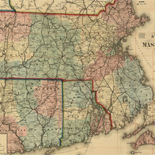
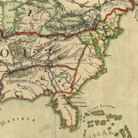
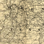
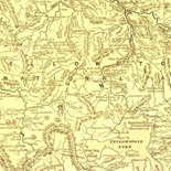
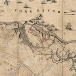
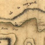
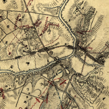
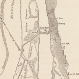
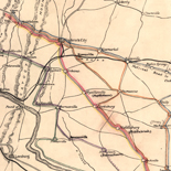
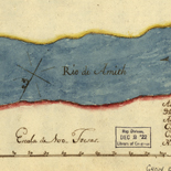
About | View items [2281] Civil War Maps
 Civil War Maps
Civil War Maps brings together materials from three premier collections: the Library of Congress Geography and Map Division, the Virginia Historical Society, and the Library of Virginia. Among the reconnaissance, sketch, and theater-of-war maps are the detailed battle maps made by Major Jedediah Hotchkiss for Generals Lee and Jackson, General Sherman's Southern military campaigns, and ...More about this collection...
View items from this collection [2281] -
About | View items [150] Discovery And Exploration
 Discovery And Exploration
This category documents the discovery and exploration with both manuscripts and published maps. Many of these maps reflect the European Age of Discoveries, dating from the late 15th century to the 17th century when Europeans were concerned primarily with determining the outline of the continents as they explored and mapped the coastal areas and the ...More about this collection...
View items from this collection [150] -
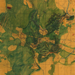
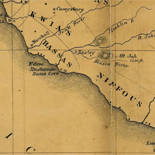
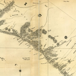
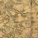
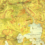
About | View items [345] Hotchkiss Map Collection
 Hotchkiss Map Collection
The Hotchkiss Map Collection contains cartographic items made by Major Jedediah Hotchkiss (1828-1899), a topographic engineer in the Confederate Army. Hotchkiss made detailed battle maps primarily of the Shenandoah Valley, some of which were used by the Generals Robert E. Lee and Thomas J. "Stonewall" Jackson for their combat planning and strategy. Several of the ...More about this collection...
View items from this collection [345] -
About | View items [77] Louisiana: European Explorations And The Louisia
...
Louisiana: European Explorations And The Louisia
...
 Louisiana: European Explorations And The Louisiana Purchase
The Louisiana Purchase is a landmark event in American history, one that had a lasting impact not only on the size of the United States, but also on its economic, cultural, and political makeup. Before President Thomas Jefferson's administration purchased the territory in 1803, parts or all of the territory had been under the control ...More about this collection...
View items from this collection [77] -
About | View items [170] Mapping The National Parks
 Mapping The National Parks
The Mapping the National Parks collection documents the history, cultural aspects and geological formations of areas that eventually became National Parks. The collection consists of approximately 200 maps dating from the 17th century to the present, reflecting early mapping of the areas that would become four National Parks, as well as the parks themselves. Production ...More about this collection...
View items from this collection [170] -
About | View items [22] Maps of Liberia, 1830 1870
 Maps of Liberia, 1830 1870
This collection of Liberia maps includes twenty examples from the American Colonization Society (ACS), organized in 1817 to resettle free black Americans in West Africa. These maps show early settlements in Liberia, indigenous political subdivisions, and some of the building lots that were assigned to settlers. This on-line presentation also includes other nineteenth-century maps of ...More about this collection...
View items from this collection [22] -
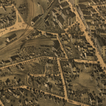
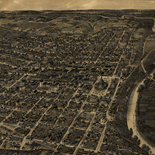
About | View items [1461] Panoramic Maps
 Panoramic Maps
The panoramic map was a popular cartographic form used to depict U.S. and Canadian cities and towns during the late nineteenth and early twentieth centuries. Known also as bird's-eye views, perspective maps, and aero views, panoramic maps are nonphotographic representations of cities portrayed as if viewed from above at an oblique angle. Although not generally ...More about this collection...
View items from this collection [1461] -
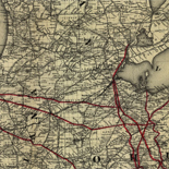
About | View items [617] Railroad Maps, 1828 1900
 Railroad Maps, 1828 1900
The Railroad maps represent an important historical record, illustrating the growth of travel and settlement as well as the development of industry and agriculture in the United States. They depict the development of cartographic style and technique, highlighting the achievement of early railroaders. Included in the collection are progress report surveys for individual lines, official ...More about this collection...
View items from this collection [617] -
About | View items [68] Rochambeau Map Collection
 Rochambeau Map Collection
The Rochambeau Map Collection contains cartographic items used by Jean Baptiste Donatien de Vimeur, comte de Rochambeau (1725-1807), when he was commander in chief of the French expeditionary army (1780-82) during the American Revolution. The maps were from Rochambeau's personal collection, cover much of eastern North America, and date from 1717 to 1795. The maps ...More about this collection...
View items from this collection [68] -
About | View items [50014] Sanborn Maps
 Sanborn Maps
Fire Insurance Maps in the Library of Congress. 1981 The Sanborn Fire Insurance Maps Online Checklist provides a searchable database of the fire insurance maps published by the Sanborn Map Company housed in the collections of the Geography and Map Division. The online checklist is based upon the Library's 1981 publication Fire Insurance Maps in ...More about this collection...
View items from this collection [50014] -
About | View items [418] World War II Military Situation Maps
 World War II Military Situation Maps
The World War II Military Situation Maps contains maps showing troop positions beginning on June 6, 1944 to July 26, 1945. Starting with the D-Day Invasion, the maps give daily details on the military campaigns in Western Europe, showing the progress of the Allied Forces as they push towards Germany. Some of the sheets are ...More about this collection...
View items from this collection [418]