Local Project Development Team Meetings have been scheduled for February 2013.

New projects proposed for Fiscal Year 2014 will be discussed.

Please Note: Sublette LPDT - the Thursday, February 14th meeting will be held at the Pinedale BLM Office at 10:00 am.

Please Note: Carbon LPDT - the Tuesday, February 12th meeting will be held at the Rawlins Library - Bess Sheller Room, located at 215 West Buffalo in Rawlins at 10:00 am.

The WLCI Executive Committee will conduct its quarterly meeting beginning at 1:00 p.m. February 26-27, 2013 at the Wyoming Game and Fish Department Headquarters in Cheyenne.
Meeting location: 5400 Bishop Blvd., Cheyenne, WY.
Video conferencing will be available.

Access Article
Using a geology-based assessment methodology, the U.S. Geological Survey estimated a total of 4.285 trillion barrels of oil in-place in the oil shale of the three principal basins of the Eocene Green River Formation. Using oil shale cutoffs of potentially viable (15 gallons per ton) and high grade (25 gallons per ton), it is estimated that between 353 billion and 1.146 trillion barrels of the in-place resource have a high potential for development.

New US Topo maps for Wyoming and South Dakota are available, with the introduction of Public Land Survey and other new data.

Barbara Ray, USGS Wyoming Geospatial Liaison, presented "US Topo: The Next Generation of Topographic Maps" at the Geospatial Forum at the University of Wyoming.

Access article in USGS Newsroom

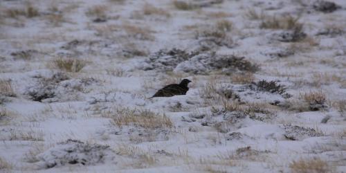
  • Sage grouse in winter, in Wyoming

    Sage grouse in winter, in Wyoming

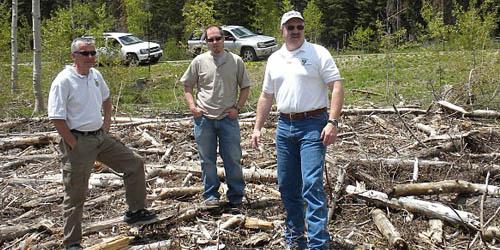
  • Tour of aspen treatment area by WLCI participants

    Tour of aspen treatment area by WLCI participants

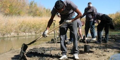
  • Riparian plantings on Bitter Creek for 2010 Public Lands Day

    Riparian plantings on Bitter Creek for 2010 Public Lands Day

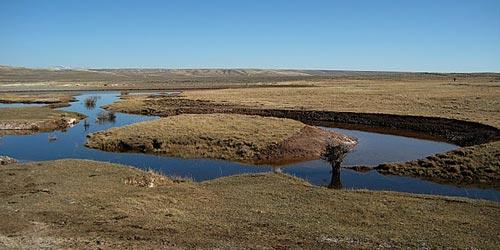
  • New Trumpeter Swan Pond

    New Trumpeter Swan Pond

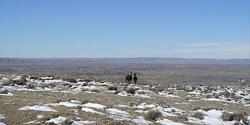
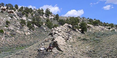
  • Adobe Town Wild Horse Management Area

    Adobe Town Wild Horse Management Area

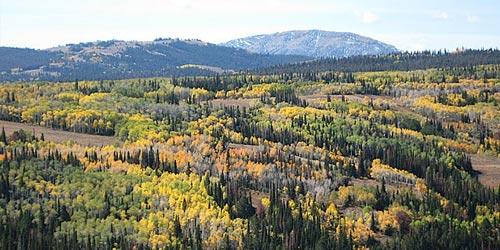
  • Fall in Wyoming signified by golden-colored aspen leaf changes

    Fall in Wyoming signified by golden-colored aspen leaf changes

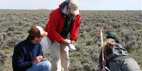
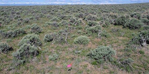
  • Vegetation sampling in southwest Wyoming

    Vegetation sampling in southwest Wyoming

  • Vegetation sampling in southwest Wyoming

    Vegetation sampling in southwest Wyoming

  • USGS researchers sampling sage treatments

    USGS researchers sampling sage treatments

  • Vegetation sampling in southwest Wyoming

    Vegetation sampling in southwest Wyoming

  • Sommers-Grindstone Project -- 19 million acres conserved

    Sommers-Grindstone Project -- 19 million acres conserved

  • Ferris Mountains Muddy Gap Hogback Weed Treatment Access

    Ferris Mountains Muddy Gap Hogback Weed Treatment Access

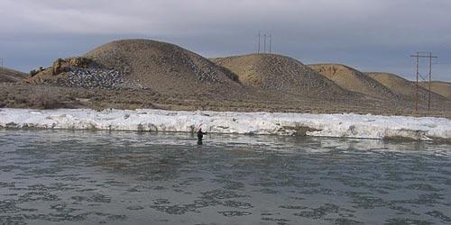
  • Green River below Green River, Wyoming, March 2007, water quality sampling site

    Green River below Green River, Wyoming, March 2007, water quality sampling site

  • Green River near Green River, Wyoming, December 2004, streamgage and water-quality monitoring site

    Green River near Green River, Wyoming, December 2004, streamgage and water-quality monitoring site

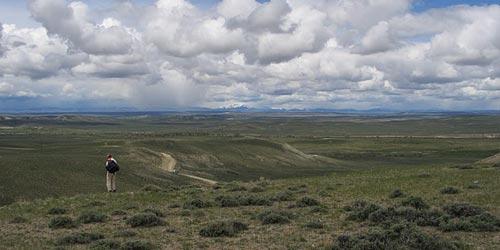
  • Landscape in southwest Wyoming, near Rick Road

    Landscape in southwest Wyoming, near Rick Road

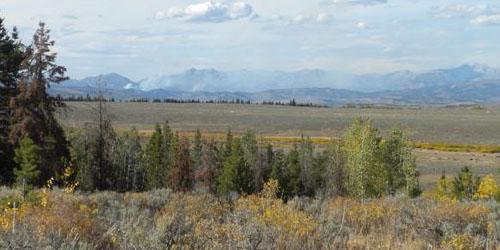
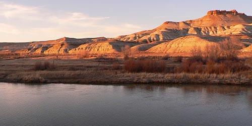
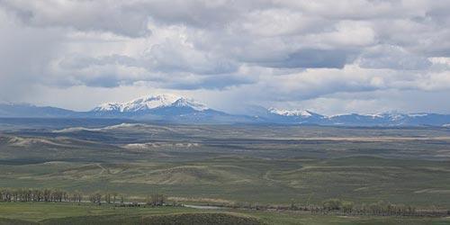
  • Green River and Wyoming Range in southwest Wyoming

    Green River and Wyoming Range in southwest Wyoming

About the Initiative

The WLCI is a long-term science based effort to assess and enhance aquatic and terrestrial habitats at a landscape scale in southwest Wyoming, while facilitating responsible development through local collaboration and partnerships.

Facts & Projects  |  Memorandum of Understanding (MOU) & MOU Attachment A | Management Documents  |  Fiscal Year 2011 Proposed Projects


How We Work

The WLCI is an interagency working group of partners that is beginning the process of establishing a much larger coalition of government and non-government organizations. Local Project Development Teams identify local issues that are important to the landscape and cooperatively create projects to address identified needs for local wildlife, habitat, and other resource issues. Each Local Project Development Team includes local biologists, range managers, conservation districts, landowners, county commissioners, and other interested parties. The WLCI has four teams that are located geographically. [More]

Partners

WLCI partners include:

What are the roles of the Partners?

  • Bureau of Land Management (BLM) - The BLM administers approximately 9.3 million of the 19 million acres in the WLCI area. The BLM works with partners to implement on-the-ground actions that will enhance habitats. The BLM also monitors projects to ensure they meet the stated purposes. The agency houses the Coordination Team (CT) and is represented on the Executive Committee (EC), CT, Science and Technical Advisory Committee (STAC), Data and Information Management Team (DIMT), Communication Team, Monitoring Team and Support Subcommittee.
  • U.S. Geological Survey (USGS) - The USGS provides integrated science and methodology to support the WLCI initiative, inform decision-making by all WLCI partners, and advance scientific knowledge and information. The agency provides research in the WLCI area and monitors at the landscape scale. The USGS leads the science effort with the WLCI Science Team and is involved in the EC, CT, STAC, DIMT, Communication Team, and Monitoring Team.
  • U.S. Fish and Wildlife Service (FWS) - The FWS has tools for private landowners to develop conservation measures for wildlife, plants, and habitats on non-Federal lands. The FWS also provides assurances to the landowner for engaging in such efforts. On-the-ground work on private lands occurs through the FWS Partners for Fish and Wildlife Program. Additionally, the FWS expedites environmental reviews to ensure timely project completion. Seedskadee and Cokeville Meadows National Wildlife Refuges provide two important conservation areas. The FWS is included in the EC, CT, STAC, DIMT, Communication Team, Monitoring Team and Support Subcommittee.
  • Wyoming Game and Fish Department (WGFD) - The WGFD manages over 250 wildlife species in the WLCI area. By working with private landowners, partnering agencies and other interested groups, the WGFD conducts planning and implementation to put actions on the ground that will conserve habitat and improve land management. The WGFD also inventories and monitors all wildlife in the WLCI area and provides this information to help direct prioritization of conservation actions. The WGFD is represented on the EC, CT, STAC, DIMT, Communication Team, Monitoring Team and Support Subcommittee.
  • Wyoming Department of Agriculture (WDA) - The WDA acts as a liaison between the WLCI and the agriculture community for project planning and provides assistance and technical support. The WDA is represented on the EC, CT, STAC, Communication Team and Monitoring Team.
  • Southwest Wyoming County Commissions - The Southwest Wyoming County Commissions provide local representation and direction to the WLCI. A county commissioner is included in the Executive Committee and participates with the Support Subcommittee.
  • Southwest Wyoming Conservation Districts - The Southwest Wyoming Conservation Districts provide local representation to the WLCI and help with technical expertise and project development at the ground level. A representative from the area’s nine conservation districts sits on the Executive Committee and participates with the Support Subcommittee.
  • USDA Forest Service (FS) - The FS administers 2.8 million acres of the 19 million acres in the WLCI area. The FS works with partners to implement on-the-ground actions that enhance habitats and monitors projects to ensure they meet their purpose. The FS is represented on the EC, STAC, Communication Team, Monitoring Team and Support Subcommittee.
  • National Park Service (NPS) - The NPS provides technical assistance and support to the WLCI effort, including representation on the EC, STAC, Monitoring Team, and Support Subcommittee.
  • Natural Resources Conservation Service (NRCS) - The NRCS provides assistance with project planning and technical support to the initiative. The agency is represented on the Support Subcommittee.
  • Bureau of Reclamation (BOR) - The BOR provides assistance with project planning and technical support to the initiative. The agency is represented on the Support Subcommittee.
  • University of Wyoming - The University of Wyoming is represented on the DIMT and helps with research in the WLCI area.
  • Wyoming Department of Environmental Quality (DEQ) – The DEQ provides technical assistance and is represented on the Monitoring Team.
  • Other Supporters - Additional support is being received by agencies and other groups through project planning and technical support. Some of these supporters include the Jonah Interagency Mitigation and Reclamation Office, Pinedale Anticline Project Office, Wyoming State Land Board, and private landowners.

Newsletters

Summer 2011 Newsletter

Includes articles about the Conservation Action Plan, Coordination Team Lead Moves On, Promoting WLCI from the Top, Partner Spotlight:  SER Conservation District, Supporting Conservation, and Upcoming Science Activities.

Fall 2010 Newsletter

Includes articles about the Sommers-Grindstone Project, the July Executive Committee Meeting, an update on the WLCI Conservation Action Plan, how WLCI is spreading our message, and more!

Summer 2009 Newsletter

Includes: change in WLCI executives, discussion of Science Workshop conducted in May 2009, expansion of WLCI boundary, 2009 budget, Local Project Development Team activities, consideration of term easements and leases, addressing wind development in WLCI region.

Fall 2008 Newsletter

Includes: Local Project Development Teams Workshops conducted in several  Wyoming communities; WLCI Science Team activities; approval of 2009 on-the-ground and research projects; signing of a new Memorandum of Understanding (MOU), including additional participants; Science Integration; Data and Information Management Activities; Selection of WLCI Executives which represent local, state, and federal entities; creating new funding opportunities which allow WLCI to use contributions from non-federal sources; Setting Priorities; and Building Local Support.

March 2008 Newsletter

Includes: overview and outlook describing project planning, partnerships, funding, scientific assessments; description of six on-the-ground projects conducted in 2007, which include: Trumpeter Swan Habitat Enhancement, Wyoming Front Aspen Treatment, Ferris Mountain Leafy Spurge and Russian Knapweed Treatment, Adobe Town Range Improvements, Red Canyon Prescribed Burn, Sweetwater County Weed Control; 2007 WLCI Milestones; organization and responsibilities of WLCI task force composed of: Executive Committee, Coordination Team, Support Subcommittee, USGS Science Team, Science and Technical Advisory Committee, Data and Information Management Team, Communication Team; identifies and describes the roles of agencies and organizations participating in the WLCI.

Fact Sheets

WLCI Researchers Employ New Approaches to Help Managers Conserve Deer Migrations, by Leslie A. Allen and Matthew J. Kauffman
WLCI researchers investigated the migration of a large mule deer herd across the Dad and Wild Horse winter ranges in southwest Wyoming, where 2,000 gas wells and 1,609 kilometers of pipelines and roads have been proposed for development.

WLCI Fact Sheet describes the WLCI and encompassed region of interest, includes interesting facts, ways to get involved, science-based methods, and project descriptions.

Facts & Projects Brochure provides an overview of the WLCI, detailing purpose of the Initiative, interesting facts, how to get involved, types of projects funded, and project descriptions.

WLCI Data Management and Integration Fact Sheet describes data management techniques used to promote information sharing and acquisition among WLCI researchers and decisionmakers.

11-Step Briefing uses the strategic, science-based approach of the WLCI to describe a template for landscape conservation implementation framework that provides guidance to other landscape-scale initiatives.

WLCI Synopsis provides basic information about the WLCI and was drafted to inform the new Obama Administration in 2009.

Group ensures healthy fish, wildlife populations in southwest Wyoming - WLCI article published in the March 27, 2010 Progress Edition of the Rock Springs Rocket Miner.

Frequently Asked Questions (FAQ)

01. What is the Wyoming Landscape Conservation Initiative (WLCI) and why was it created?

The WLCI is a long-term, science-based program to assess and enhance aquatic and terrestrial habitats at a landscape scale in southwest Wyoming, while facilitating responsible development through local collaboration and partnerships. This program entails inventory and assessment of species and habitat to determine what habitat enhancement projects, such as vegetation treatments, are necessary. The collaborative effort represented by the WLCI is unique as it provides a means to address multiple concerns at a scale that considers all activities on the landscape, incorporates multiple needs in project implementation, and can leverage resources that might not be available for single agency projects. 

02. Where did the idea for the WLCI originate?

The idea began with discussions between the directors of the Wyoming Bureau of Land Management, the U.S. Fish and Wildlife Service, and the Wyoming Game and Fish Department in the spring of 2006 about the need for a landscape-scale approach to ensure healthy wildlife populations in areas with proposed energy development. The WLCI was announced in February 2007.

03. What types of conservation work does the WLCI do?

Projects have included fencing, wetland creation, prescribed burns, riparian enhancements, conservation easements, weed treatments and river restoration. These projects have benefitted multiple species, including greater sage-grouse, trumpeter swans, cutthroat trout, various warm water fish, migratory birds, and big game. The WLCI will consider supporting any good conservation approach that provides benefits to wildlife and habitat at a landscape scale. Additional details about past projects are provided in newsletters and reports.

04. What is the role of science in the WLCI?

One of the most unique features of the WLCI is the application of science to decision-making processes. Scientific research is used to inform on-the-ground work done through the initiative. Scientific work conducted for the WLCI improves the understanding of ecosystems present and their response to various drivers of change. The USGS is leading the science effort and has compiled science strategies to help guide the science work that is conducted. The Science and Technical Advisory Committee (STAC) helps apply science to on-the-ground conservation work and management. A Science Assessment developed by the USGS helps identify gaps where critical scientific information is missing. The STAC helps determine how to fill these gap

05. How do you decide which conservation projects to do?

Conservation projects are developed at the local level by Local Project Development Teams (LPDTs) with the input of various individuals who are interested in participating. The projects are strategically designed to conserve resources at the landscape level and be aligned with the WLCI mission, objectives and goals. The process of creating strategic projects is iterative. Priorities are determined and mapped by LPDTs using local knowledge and current scientific understanding. Priority areas also are defined by which issues are most important. LPDTs prioritize projects that they have developed for a given year. The Coordination Team incorporates LPDT priorities as it ranks all projects across the WLCI area using criteria approved by the Executive Committee (EC). The EC approves final rankings and funding is provided to highest ranking projects. Specific requirements of the funding source are included in this process. Over time, monitoring of projects and additional research will provide additional guidance in this process.