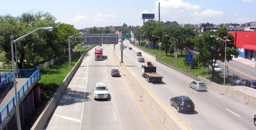
Sheridan Expressway, view south from 174th Street bridge |
The ‘Sheridan Expressway-Hunts Point Land Use and Transportation Study’ (SEHP) is an intensive interdisciplinary study of the Sheridan Expressway and surrounding highway network which will pay special attention to Hunts Point access. The planning process will help prioritize the land use and transportation needs of the City, local residents, business community, and broader region and help shape the City’s view about New York State Department of Transportation’s Bruckner-Sheridan Interchange study. In October 2010, the City of New York was awarded a $1.5 million TIGER II planning grant from the United States Department of Transportation to support the SEHP.
Since 2001, the New York State Department of Transportation (NYSDOT) has been studying proposals to improve safety and traffic flow at the Bruckner Expressway (I-278) at its interchange with the Sheridan Expressway (I-895) as well as to improve access in and out of the Hunts Points Peninsula from the expressway system. NYSDOT has considered changes that would alleviate the two bottlenecks on the Bruckner Expressway, at the Sheridan and at Bronx River Parkway, as well as provide an additional Bruckner interchange at Oak Point Avenue. The main difference between the two remaining alternatives under study by NYSDOT is the retention of the Sheridan itself.
Through the SEHP study, the City will engage community stakeholders in a visioning process to plan for the area’s future. The study will allow the City to collect additional information about transportation, specifically truck access to the Hunts Point peninsula, and expand transportation analysis to include the broader highway network in the South Bronx. The expanded transportation and land use analyses will complement the transportation analysis being conducted by the NYSDOT and help the city and state identify the best possible set of investments and improvements to the Bronx highway system and the complementary economic, zoning and housing plans.
View the SEHP fact sheet in  English and Spanish. English and Spanish.
|
Introduction | Context | Planning Process | Public Participation | Community Working Group
|