
[Detail] Map of Liberia. Lith. by E. Weber & Co., 1845.
Maps of Liberia, 1830-1870 provides the basis for several projects that foster historical thinking skills. Tracking the development of Liberia with the maps, students can practice chronological thinking, while through role play they can develop their historical comprehension and skills of analysis and interpretation. By debating how to influence change, students can improve their ability to analyze issues and make decisions. And by researching the history of the Liberian government, students can improve their historic research skills.
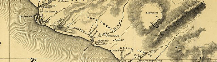
Chronological Thinking

Liberia and its vicinity, 184-?.

Map of Liberia, 1870.
Maps of Liberia affords students the opportunity to track through maps the development of a nation. Students can begin by reading the special presentation History of Liberia: A Time Line. Then have students search the collection on Liberia looking at maps in chronological order. Students can look for evidence in the maps of change over time representing the growth and maturation of what would become the country of Liberia.
By comparing the oldest maps in the collection to the most recent ones, students can answer these and other questions:
- What new lands did the colonists acquire over time?
- What new settlement areas were started by the colonists? Did all the original settlements still exist by the time the last map was created?
- What evidence is there of an increased population?
- What political boundaries were established over time?
- What new information did the settlers have about the quality of the land to grow crops?
- What nautical information did they gain?